An English Atlas of Inequality

by Alasdair Rae and Elvis Nyanzu
Read the report

TTWAs

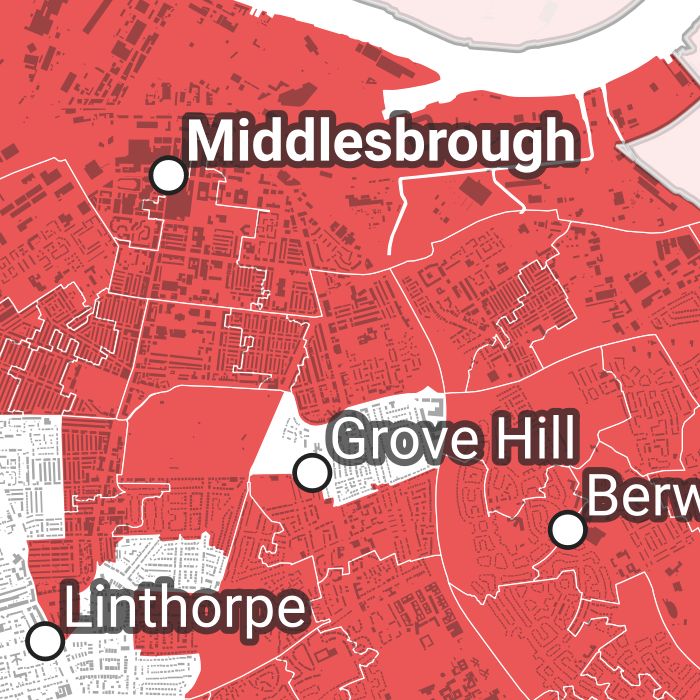
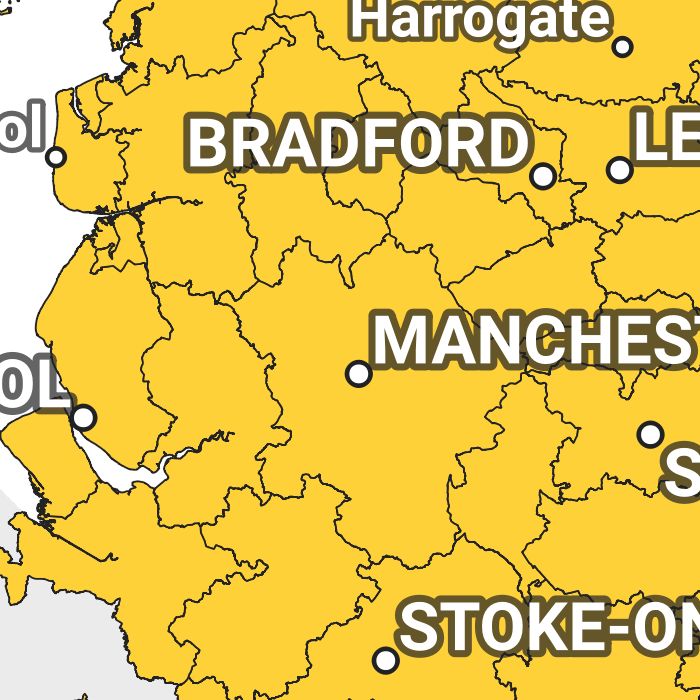
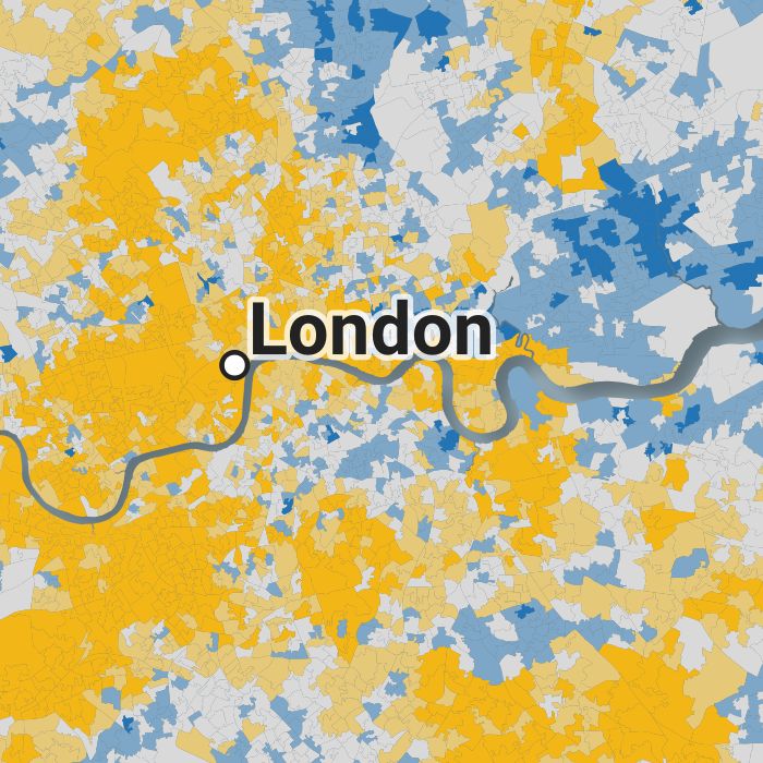
Our English Atlas of Inequality is based on the 'travel-to-work-area' (TTWA) geography. These can be thought of as functional labour market areas. We have produced individual maps for all 149 English TTWAs. The data for TTWAs and all other map sets is in our data folder. Column descriptions are in the TTWA file. **We're working on getting the maps back online.**

Local authorities

We also produced a set of map outputs for all 317 local authority districts in England. Every map here gives the Gini coefficient, 20:20 Index and Moran's I value for each local authority, plus a map showing the 20% most and least deprived LSOAs on the 2019 English Indices of Deprivation. **We're working on getting the maps back online.**

Constituencies

To complete the set of map outputs, we also produced one map for each of England's 533 Westminster Parliamentary Constituencies. These follow the format of the other two map sets but cover smaller areas, with smaller populations. **We're working on getting the maps back online.**