Full Size Poster click below to download
What is this?
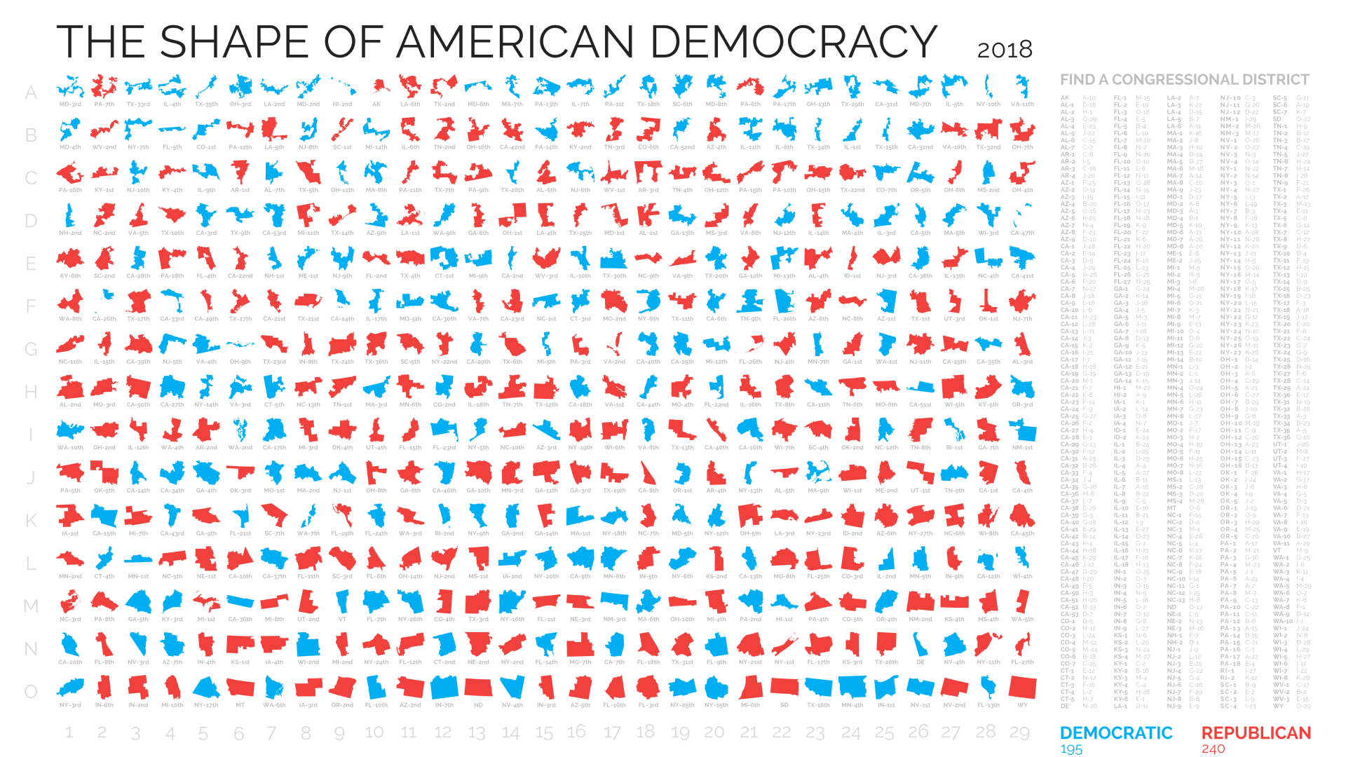
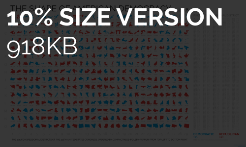
This was my attempt, in 2018, to provide a simple overview of the shapes of all 435 US Congressional Districts in one graphic. They are ordered from top left to bottom right in relation to how irregulalry they are shaped. This is not a partisan project but rather an attempt to visualise a lot of data in a clear, simple way.
Further details
- Districts are colored by party
- Not to scale, obviously
- Yes, Pennsylvania has been redrawn
- Full size version is 21,500x12,925 pixels
